

DISCLAIMER:
This map was created to show currently approved zoning plan for the City of Gastonia.
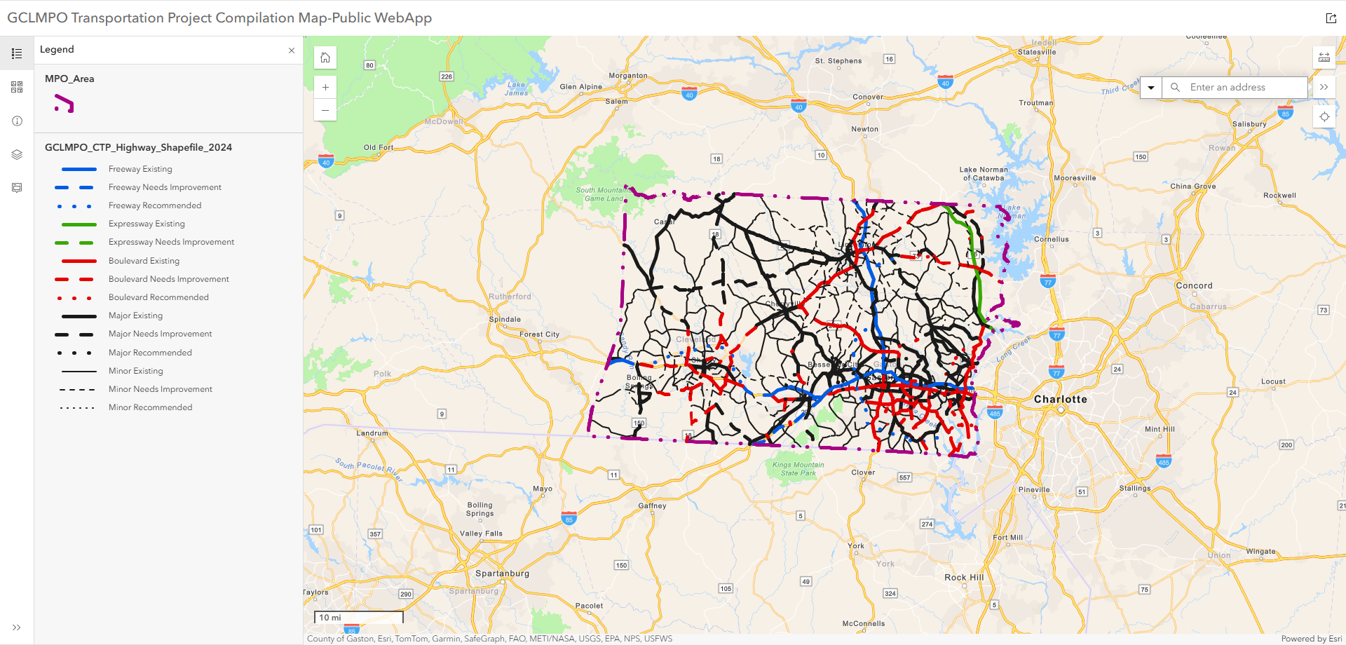
Interactive legend: Modify the features represented on the map by interacting with elements on the legend. To navigate around the map, you can simply zoom in and out to locate a particular address or parcel, or use the address/parcel search function on the top right.
Visible layers: Certain layers are only visible at Neighborhood/Street level. Zoom in at a specific location to see all layers on map.
SPECIAL NOTES & DISCLAIMERS:
This map is for informational purposes and may not have been prepared for, or be suitable for legal, engineering, or surveying purposes. Users of this information should review or consult the primary data and information sources to ascertain the usability of the information.
Contact info / more resources: https://gastonianc.gov/doing-business/planning.html
City of Gastonia Data Hub: https://gis-data-hub-gastonianc.hub.arcgis.com/
|
|
|
|
|
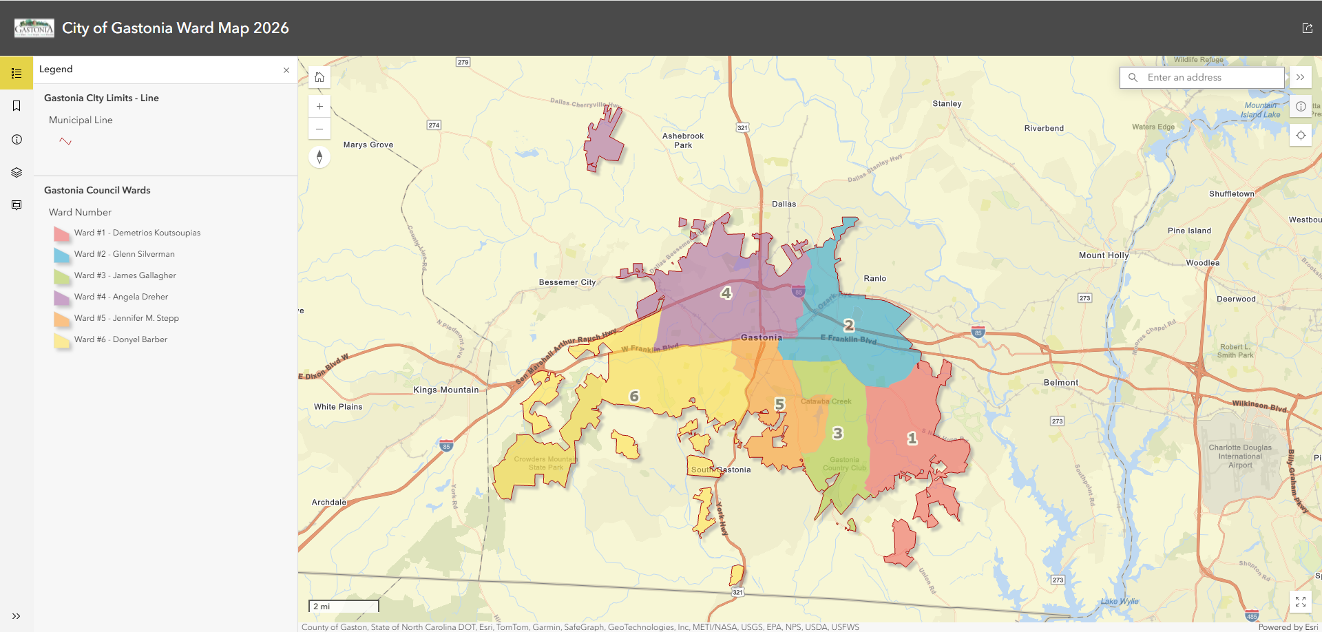
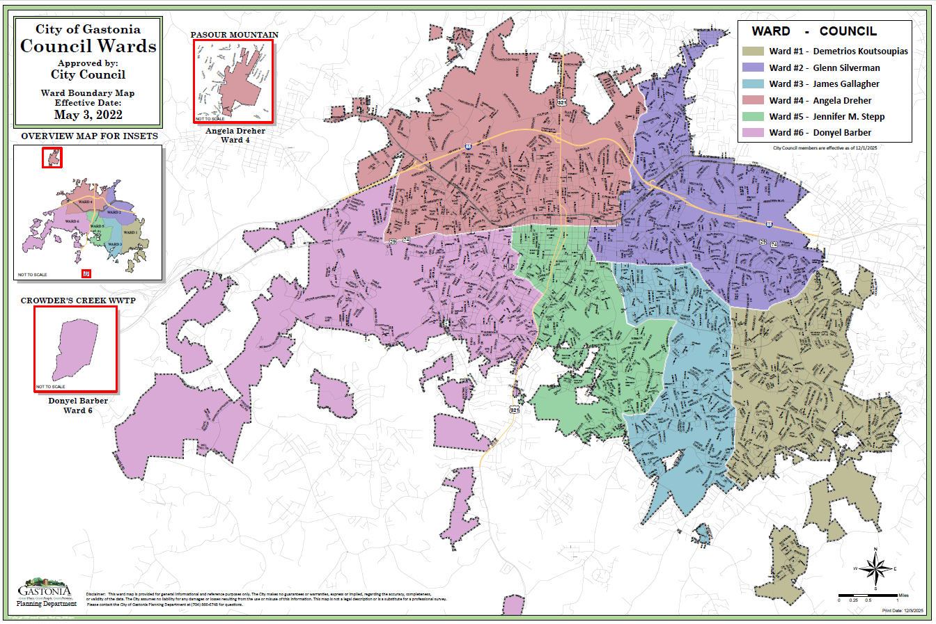 Ward Map (PDF) Ward Map (PDF)
|
|
|
Updated yearly on website |
|
|
|
 |
|
 |
|


|
Historic District Maps
|
|
|
|
|
|
|


